 vesseltracker.com
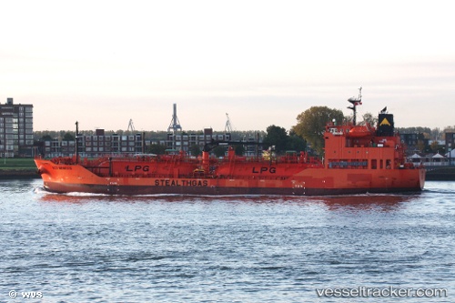
Vessel Eco Nemesis IMO: 9719525, MMSI: 538006497 Lpg Tanker
UTC, 57.83050, 9.60436, course: 266, speed: 11.8
UTC, 57.80679, 8.88358, course: 269, speed: 12.8
2026-03-06 03:32:20 UTC, 57.79075, 8.41530, course: -1, speed: 12.6
Live Vessel Eco Nemesis Analytics (details, animations, etc.)
Live AIS position: UTC. 22 nm SE of Flekkerøy), updated 2026-03-06 03:32:20 UTC.Find the position of the vessel Eco Nemesis on the map. The latter are known coordinates and path.
marine traffic ship tracker show on live map
The current position of vessel Eco Nemesis is 57.79075 lat / 8.41530 lng. Updated: 2026-03-06 03:32:20 UTCCurrently sailing under the flag of Marshall Is
Details:
Last coordinates of the vessel:
UTC, 57.84815, 10.73307, course: 270, speed: 11.8UTC, 57.83050, 9.60436, course: 266, speed: 11.8
UTC, 57.80679, 8.88358, course: 269, speed: 12.8
2026-03-06 03:32:20 UTC, 57.79075, 8.41530, course: -1, speed: 12.6