 vesseltracker.com
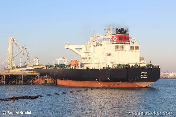
Vessel Loire IMO: 9761516, MMSI: 538006701 Crude Oil Tanker
UTC, 27.82266, -97.19138, course: 15, speed: 0
UTC, 27.82266, -97.19134, course: 15, speed: 0
2026-01-29 02:16:34 UTC, 27.82265, -97.19137, course: 15, speed: 0
Live AIS position:
UTC. Near ARANSAS PASS),
updated 2026-01-29 02:16:34 UTC.
Find the position of the vessel Loire on the map. The latter are known coordinates and path.
marine traffic ship tracker show on live map
The current position of vessel Loire is 27.82265 lat / -97.19137 lng. Updated: 2026-01-29 02:16:34 UTCCurrently sailing under the flag of Marshall Is
Details:
Last coordinates of the vessel:
UTC, 27.82266, -97.19137, course: 15, speed: 0UTC, 27.82266, -97.19138, course: 15, speed: 0
UTC, 27.82266, -97.19134, course: 15, speed: 0
2026-01-29 02:16:34 UTC, 27.82265, -97.19137, course: 15, speed: 0