 vesseltracker.com
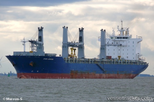
Find the position of the vessel Star Louisiana on the map. The latter are known coordinates and path.
marine traffic ship tracker show on live map
The current position of vessel Star Louisiana is -20.291666666667 lat / -40.231666666667 lng. Updated: 2025-10-31 08:45:35 UTCCurrently sailing under the flag of Marshall Is
Star Louisiana built in 2013 year
Deadweight:
50720 tDetails:
Last coordinates of the vessel:
UTC, -20.291666666667, -40.231666666667, course: -1, speed: 0UTC, -20.292373333333, -40.232326666667, course: 239, speed: 0
UTC, -20.29238, -40.232348333333, course: 239, speed: 0
2025-10-31 08:45:35 UTC, -20.291666666667, -40.231666666667, course: -1, speed: 0