 vesseltracker.com
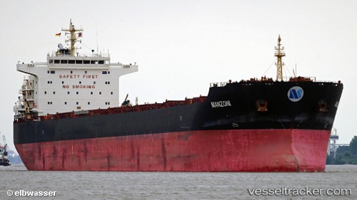
Vessel Maera IMO: 9563677, MMSI: 538006862 Bulk Carrier
UTC, -6.09831, 106.90959, course: 93, speed: 0
UTC, -6.09823, 106.90970, course: 93, speed: 0
2026-02-05 15:36:52 UTC, -6.09667, 106.90833, course: -1, speed: 0
Live AIS position:
UTC. Near New Priok Port),
updated 2026-02-05 15:36:52 UTC.
Find the position of the vessel Maera on the map. The latter are known coordinates and path.
marine traffic ship tracker show on live map
The current position of vessel Maera is -6.09667 lat / 106.90833 lng. Updated: 2026-02-05 15:36:52 UTCCurrently sailing under the flag of Marshall Is
Maera built in 2013 year
Deadweight:
76000 tDetails:
Last coordinates of the vessel:
UTC, -6.09828, 106.90963, course: 93, speed: 0UTC, -6.09831, 106.90959, course: 93, speed: 0
UTC, -6.09823, 106.90970, course: 93, speed: 0
2026-02-05 15:36:52 UTC, -6.09667, 106.90833, course: -1, speed: 0