 vesseltracker.com
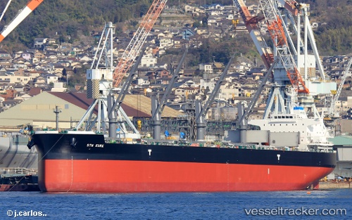
Vessel Sth Kure IMO: 9749269, MMSI: 538006864 Bulk Carrier
UTC, 5.59276, 105.95319, course: 192, speed: 12.5
UTC, 5.59276, 105.95319, course: 192, speed: 12.5
2026-01-30 10:23:57 UTC, 5.16442, 105.80732, course: 197, speed: 12.2
Live AIS position:
UTC. 12 nm NW of Kakap Natuna Terminal),
updated 2026-01-30 10:23:57 UTC.
Find the position of the vessel Sth Kure on the map. The latter are known coordinates and path.
marine traffic ship tracker show on live map
The current position of vessel Sth Kure is 5.16442 lat / 105.80732 lng. Updated: 2026-01-30 10:23:57 UTCDetails:
Last coordinates of the vessel:
UTC, 5.98266, 106.08144, course: 193, speed: 12.5UTC, 5.59276, 105.95319, course: 192, speed: 12.5
UTC, 5.59276, 105.95319, course: 192, speed: 12.5
2026-01-30 10:23:57 UTC, 5.16442, 105.80732, course: 197, speed: 12.2