 vesseltracker.com
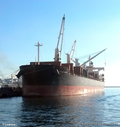
Vessel Free State IMO: 9386392, MMSI: 538007004 Bulk Carrier
UTC, 44.63182, 38.36322, course: 22, speed: 20.7
UTC, 44.89036, 38.05864, course: 22, speed: 7.5
2026-02-08 17:58:40 UTC, 44.89036, 38.05864, course: 22, speed: 7.5
Live AIS position:
UTC. Near Abinsk),
updated 2026-02-08 17:58:40 UTC.
Find the position of the vessel Free State on the map. The latter are known coordinates and path.
marine traffic ship tracker show on live map
The current position of vessel Free State is 44.89036 lat / 38.05864 lng. Updated: 2026-02-08 17:58:40 UTCDetails:
Last coordinates of the vessel:
UTC, 44.63182, 38.36322, course: 22, speed: 20.7UTC, 44.63182, 38.36322, course: 22, speed: 20.7
UTC, 44.89036, 38.05864, course: 22, speed: 7.5
2026-02-08 17:58:40 UTC, 44.89036, 38.05864, course: 22, speed: 7.5