 vesseltracker.com
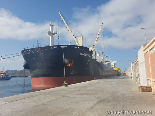
Vessel Gh Rich Wall IMO: 9735804, MMSI: 538007228 Bulk Carrier
UTC, 1.48743, 104.56700, course: 51, speed: 9.9
UTC, 1.67601, 104.68911, course: 64, speed: 10.5
2026-02-18 05:36:42 UTC, 1.98533, 104.90334, course: 38, speed: 10.2
Live AIS position:
UTC. 59 nm NE of PENGERANG),
updated 2026-02-18 05:36:42 UTC.
Find the position of the vessel Gh Rich Wall on the map. The latter are known coordinates and path.
marine traffic ship tracker show on live map
The current position of vessel Gh Rich Wall is 1.98533 lat / 104.90334 lng. Updated: 2026-02-18 05:36:42 UTCDetails:
Last coordinates of the vessel:
UTC, 1.32523, 104.36540, course: 52, speed: 8.6UTC, 1.48743, 104.56700, course: 51, speed: 9.9
UTC, 1.67601, 104.68911, course: 64, speed: 10.5
2026-02-18 05:36:42 UTC, 1.98533, 104.90334, course: 38, speed: 10.2