 vesseltracker.com
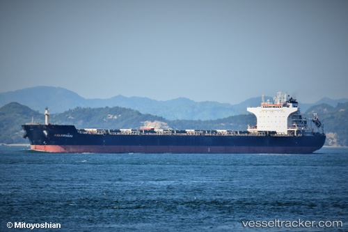
Vessel Sm Samarinda IMO: 9574391, MMSI: 538007542 Bulk Carrier
UTC, 36.31333, 126.45833, course: -1, speed: 0
UTC, 36.31333, 126.45833, course: -1, speed: 0
2026-03-02 19:46:29 UTC, 36.30833, 126.45833, course: -1, speed: 0
Live AIS position:
UTC. Near Boryeong),
updated 2026-03-02 19:46:29 UTC.
Find the position of the vessel Sm Samarinda on the map. The latter are known coordinates and path.
marine traffic ship tracker show on live map
The current position of vessel Sm Samarinda is 36.30833 lat / 126.45833 lng. Updated: 2026-03-02 19:46:29 UTCDetails:
Last coordinates of the vessel:
UTC, 36.30833, 126.45833, course: -1, speed: 0UTC, 36.31333, 126.45833, course: -1, speed: 0
UTC, 36.31333, 126.45833, course: -1, speed: 0
2026-03-02 19:46:29 UTC, 36.30833, 126.45833, course: -1, speed: 0