 vesseltracker.com
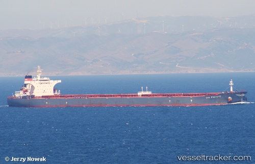
Find the position of the vessel S Cape on the map. The latter are known coordinates and path.
marine traffic ship tracker show on live map
The current position of vessel S Cape is 36.2088 lat / 130.427 lng. Updated: 2024-05-04 04:58:37 UTCCurrently sailing under the flag of Marshall Is
S Cape built in 2003 year
Port of registry:
Singapore (sovereign island country and city-state in maritime Southeast Asia)Deadweight:
175526 tGross tonnage:
88856Service entry:
2003-01-01T00:00:00ZManufacturer:
Shanghai Waigaoqiao ShipbuildingDetails:
Last coordinates of the vessel:
UTC, 36.0583, 130.273, course: -1, speed: 13UTC, 36.1336, 130.352, course: 38, speed: 12.5
UTC, 36.2088, 130.427, course: 39, speed: 12
2024-05-04 04:58:37 UTC, 36.2088, 130.427, course: 39, speed: 12