 vesseltracker.com
Find the position of the vessel Poliegos on the map. The latter are known coordinates and path.
marine traffic ship tracker show on live map
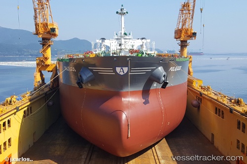
The current position of vessel Poliegos is 35.7632 lat / 29.1085 lng. Updated: 2024-04-27 16:44:26 UTCCurrently sailing under the flag of Marshall Is
Port of registry:
Majuro (coral atoll, capital of the Marshall Islands)Payload_mass:
157540 tonneGross tonnage:
81542Service entry:
2017-01-01T00:00:00ZManufacturer:
Sungdong Shipbuilding & Marine Engineering (South Korean shipbuilding company)Details:
Last coordinates of the vessel:
UTC, 35.7596, 28.3265, course: 87, speed: 10.7UTC, 35.7637, 28.619, course: 88, speed: 10.6
UTC, 35.7657, 28.7513, course: 91, speed: 10.3
2024-04-27 16:44:26 UTC, 35.7632, 29.1085, course: 92, speed: 10.1