 vesseltracker.com
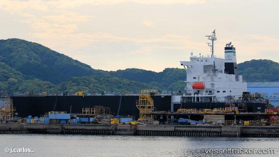
Vessel Maple IMO: 9811543, MMSI: 538007822 Wood Chips Carrier
UTC, 40.78051, 29.60794, course: 57, speed: 0
UTC, 40.78054, 29.60800, course: 57, speed: 0
2026-02-12 06:11:18 UTC, 40.78050, 29.60797, course: 57, speed: 0
Live AIS position:
UTC. Near HEREKE),
updated 2026-02-12 06:11:18 UTC.
Find the position of the vessel Maple on the map. The latter are known coordinates and path.
marine traffic ship tracker show on live map
The current position of vessel Maple is 40.78050 lat / 29.60797 lng. Updated: 2026-02-12 06:11:18 UTCDetails:
Last coordinates of the vessel:
UTC, 40.78051, 29.60791, course: 57, speed: 0UTC, 40.78051, 29.60794, course: 57, speed: 0
UTC, 40.78054, 29.60800, course: 57, speed: 0
2026-02-12 06:11:18 UTC, 40.78050, 29.60797, course: 57, speed: 0