 vesseltracker.com
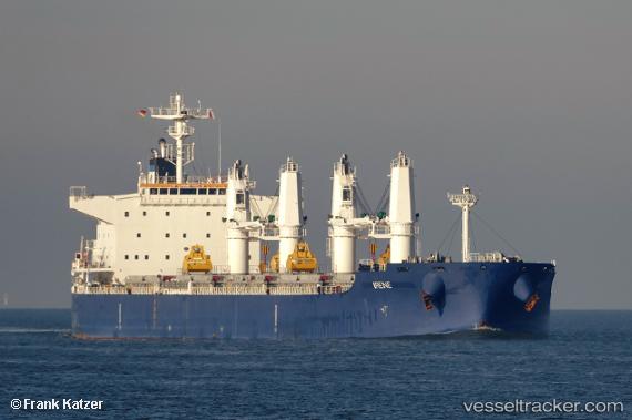
Vessel Irene IMO: 9757931, MMSI: 538007856 Bulk Carrier
UTC, 2.95624, 101.30665, course: 213, speed: 0
UTC, 2.95620, 101.30663, course: 213, speed: 0
2026-01-20 00:24:32 UTC, 2.95625, 101.30662, course: 213, speed: 0
Live AIS position:
UTC. Near Westport/Port Klang),
updated 2026-01-20 00:24:32 UTC.
Find the position of the vessel Irene on the map. The latter are known coordinates and path.
marine traffic ship tracker show on live map
The current position of vessel Irene is 2.95625 lat / 101.30662 lng. Updated: 2026-01-20 00:24:32 UTCCurrently sailing under the flag of Marshall Is
Details:
Last coordinates of the vessel:
UTC, 2.95622, 101.30664, course: 213, speed: 0UTC, 2.95624, 101.30665, course: 213, speed: 0
UTC, 2.95620, 101.30663, course: 213, speed: 0
2026-01-20 00:24:32 UTC, 2.95625, 101.30662, course: 213, speed: 0