 vesseltracker.com
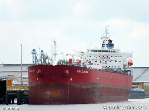
Vessel Cape Tempest IMO: 9407263, MMSI: 538007910 Crude Oil Tanker
UTC, -20.11460, 57.48274, course: 272, speed: 0
UTC, -20.11321, 57.48251, course: 227, speed: 0
2026-01-31 04:09:38 UTC, -20.09314, 57.45694, course: 295, speed: 7.4
Live AIS position:
UTC. Near Baie-du-Tombeau),
updated 2026-01-31 04:09:38 UTC.
Find the position of the vessel Cape Tempest on the map. The latter are known coordinates and path.
marine traffic ship tracker show on live map
The current position of vessel Cape Tempest is -20.09314 lat / 57.45694 lng. Updated: 2026-01-31 04:09:38 UTCDetails:
Last coordinates of the vessel:
UTC, -20.11628, 57.48040, course: 24, speed: 0UTC, -20.11460, 57.48274, course: 272, speed: 0
UTC, -20.11321, 57.48251, course: 227, speed: 0
2026-01-31 04:09:38 UTC, -20.09314, 57.45694, course: 295, speed: 7.4