 vesseltracker.com
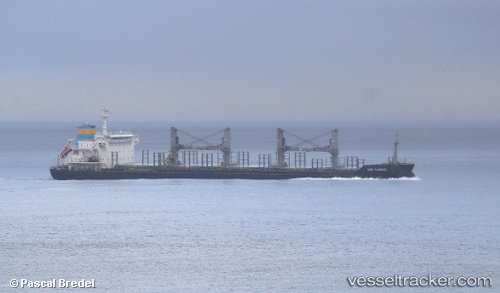
Find the position of the vessel Thomas Selmer on the map. The latter are known coordinates and path.
marine traffic ship tracker show on live map
The current position of vessel Thomas Selmer is 26.155311666667 lat / 50.676046666667 lng. Updated: 2025-11-09 02:32:11 UTCDetails:
Last coordinates of the vessel:
UTC, 26.155316666667, 50.676018333333, course: 318, speed: 0UTC, 26.155326666667, 50.676045, course: 318, speed: 0
UTC, 26.155303333333, 50.67603, course: 318, speed: 0
2025-11-09 02:32:11 UTC, 26.155311666667, 50.676046666667, course: 318, speed: 0