 vesseltracker.com
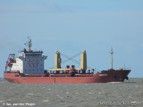
Vessel Navin Harrier IMO: 9506409, MMSI: 538007989 Bulk Carrier
UTC, 58.34626, 11.91000, course: 194, speed: 0
UTC, 58.34627, 11.90999, course: 193, speed: 0
2026-02-03 14:07:18 UTC, 58.34649, 11.91012, course: 194, speed: 0
Live AIS position:
UTC. Near Uddevalla),
updated 2026-02-03 14:07:18 UTC.
Find the position of the vessel Navin Harrier on the map. The latter are known coordinates and path.
marine traffic ship tracker show on live map
The current position of vessel Navin Harrier is 58.34649 lat / 11.91012 lng. Updated: 2026-02-03 14:07:18 UTCCurrently sailing under the flag of Marshall Is
Navin Harrier built in 2008 year
Deadweight:
7300 tDetails:
Last coordinates of the vessel:
UTC, 58.34628, 11.90999, course: 194, speed: 0UTC, 58.34626, 11.91000, course: 194, speed: 0
UTC, 58.34627, 11.90999, course: 193, speed: 0
2026-02-03 14:07:18 UTC, 58.34649, 11.91012, course: 194, speed: 0