 vesseltracker.com
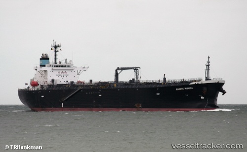
Vessel Atalanta T IMO: 9450789, MMSI: 538008124 Oil Products Tanker
UTC, 25.00486, 55.05117, course: 210, speed: 0
UTC, 25.00485, 55.05116, course: 210, speed: 0
2026-02-17 13:48:23 UTC, 25.00488, 55.05115, course: 210, speed: 0
Live AIS position:
UTC. Near Jebel Ali Free Zone),
updated 2026-02-17 13:48:23 UTC.
Find the position of the vessel Atalanta T on the map. The latter are known coordinates and path.
marine traffic ship tracker show on live map
The current position of vessel Atalanta T is 25.00488 lat / 55.05115 lng. Updated: 2026-02-17 13:48:23 UTCDetails:
Last coordinates of the vessel:
UTC, 25.00481, 55.05117, course: 210, speed: 0UTC, 25.00486, 55.05117, course: 210, speed: 0
UTC, 25.00485, 55.05116, course: 210, speed: 0
2026-02-17 13:48:23 UTC, 25.00488, 55.05115, course: 210, speed: 0