 vesseltracker.com
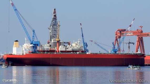
Vessel Miracle Hope IMO: 9794018, MMSI: 538008219 Crude Oil Tanker
UTC, 1.30792, 104.19419, course: 274, speed: 0
UTC, 1.30791, 104.19406, course: 275, speed: 0
2026-01-29 05:58:44 UTC, 1.30714, 104.19381, course: 294, speed: 0
Live AIS position:
UTC. Near PENGERANG),
updated 2026-01-29 05:58:44 UTC.
Find the position of the vessel Miracle Hope on the map. The latter are known coordinates and path.
marine traffic ship tracker show on live map
The current position of vessel Miracle Hope is 1.30714 lat / 104.19381 lng. Updated: 2026-01-29 05:58:44 UTCCurrently sailing under the flag of Marshall Is
Details:
Last coordinates of the vessel:
UTC, 1.30715, 104.19401, course: 281, speed: 0UTC, 1.30792, 104.19419, course: 274, speed: 0
UTC, 1.30791, 104.19406, course: 275, speed: 0
2026-01-29 05:58:44 UTC, 1.30714, 104.19381, course: 294, speed: 0