 vesseltracker.com
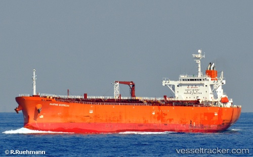
Vessel Atlantic T IMO: 9403322, MMSI: 538008412 Oil Products Tanker
UTC, -37.66528, 176.17998, course: 9, speed: 0
UTC, -37.66530, 176.17998, course: 9, speed: 0
2026-02-16 17:22:12 UTC, -37.66530, 176.17998, course: 9, speed: 0
Live AIS position:
UTC. Near Mount Maunganui),
updated 2026-02-16 17:22:12 UTC.
Find the position of the vessel Atlantic T on the map. The latter are known coordinates and path.
marine traffic ship tracker show on live map
The current position of vessel Atlantic T is -37.66530 lat / 176.17998 lng. Updated: 2026-02-16 17:22:12 UTCDetails:
Last coordinates of the vessel:
UTC, -37.66531, 176.17999, course: 9, speed: 0UTC, -37.66528, 176.17998, course: 9, speed: 0
UTC, -37.66530, 176.17998, course: 9, speed: 0
2026-02-16 17:22:12 UTC, -37.66530, 176.17998, course: 9, speed: 0