 vesseltracker.com
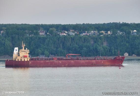
Vessel Celsius Randers IMO: 9430296, MMSI: 538008476 Chemical Oil Products Tanker
UTC, 34.92167, 24.83500, course: -1, speed: 0
UTC, 34.92167, 24.83500, course: -1, speed: 0
2026-03-05 07:57:08 UTC, 34.92333, 24.83500, course: -1, speed: 0
Live Vessel Celsius Randers Analytics (details, animations, etc.)
Live AIS position: UTC. Near Kali Limenes), updated 2026-03-05 07:57:08 UTC.Find the position of the vessel Celsius Randers on the map. The latter are known coordinates and path.
marine traffic ship tracker show on live map
The current position of vessel Celsius Randers is 34.92333 lat / 24.83500 lng. Updated: 2026-03-05 07:57:08 UTCDetails:
Last coordinates of the vessel:
UTC, 34.92167, 24.83500, course: -1, speed: 0UTC, 34.92167, 24.83500, course: -1, speed: 0
UTC, 34.92167, 24.83500, course: -1, speed: 0
2026-03-05 07:57:08 UTC, 34.92333, 24.83500, course: -1, speed: 0