 vesseltracker.com
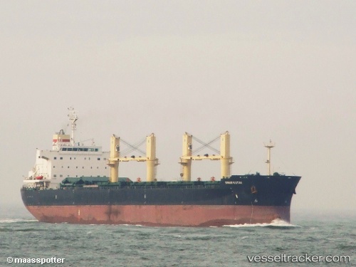
Find the position of the vessel 'PRINCESS ERIN' on the map. The latter are known coordinates and path.
marine traffic ship tracker show on live map
The current position of vessel 'PRINCESS ERIN' is 29.60511 lat / 122.62496666667 lng. Updated: 2025-10-18 19:08:48 UTCDetails:
Last coordinates of the vessel:
UTC, 29.247411666667, 122.65818, course: 11, speed: 7.3UTC, 29.402493333333, 122.62533833333, course: 351, speed: 6.8
UTC, 29.433906666667, 122.61292333333, course: 348, speed: 6.9
2025-10-18 19:08:48 UTC, 29.60511, 122.62496666667, course: 356, speed: 7.5