 vesseltracker.com
 COSMOGRAPH
Current Status
Where is the vessel?
COSMOGRAPH is currently in 207 nm NW of Omdurman, based on AIS data received about 8h ago.
Latest AIS update:
Current position: 18.41598° N, 30.29254° E (207 nm NW of Omdurman)
Average speed (last 7 days): Loading…
Average speed (last 30 days): Loading…
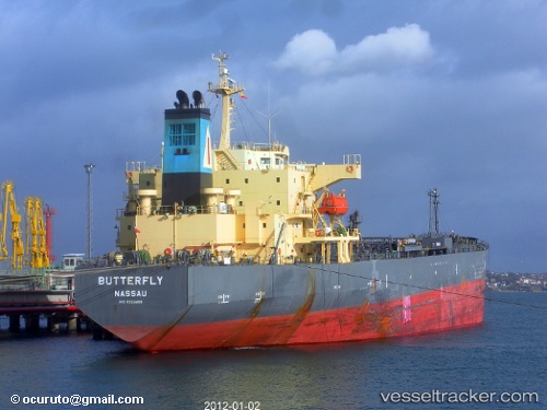
Vessel profile: COSMOGRAPH is a Oil Products Tanker with dimensions 182m x 182m.
This page combines live AIS, route history, probable destination signals, nearby traffic, and port activity for practical vessel monitoring.
The current position of vessel COSMOGRAPH is 18.41598 lat / 30.29254 lng. Updated: 2026-03-25 02:15:59 UTCNearest reference points:
- 203 nm NW of El Obeid
Currently sailing under the flag of Marshall Islands ![]()
COSMOGRAPH built in 2005 year
Deadweight:
47326 tDetails:
Live Vessel COSMOGRAPH Analytics (details, animations, etc.)
Recent AIS points (UTC):
2026-03-24 17:28:49 UTC · 19.27585, 36.22209 · SOG 38.9 kn · COG 162°2026-03-25 02:15:59 UTC · 18.41598, 30.29254 · SOG 38.9 kn · COG 173°
2026-03-25 02:15:59 UTC · 18.41598, 30.29254 · SOG 38.9 kn · COG 173°
2026-03-25 02:15:59 UTC · 18.41598, 30.29254 · SOG 38.9 kn · COG 173°