 vesseltracker.com
Find the position of the vessel Atlanticos on the map. The latter are known coordinates and path.
marine traffic ship tracker show on live map
The current position of vessel Atlanticos is 40.7616 lat / 3.07358 lng. Updated: 2024-04-28 09:38:46 UTCCurrently sailing under the flag of Marshall Islands
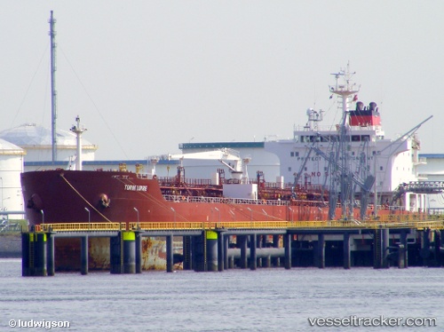
Payload_mass:
37106 tonneGross tonnage:
23246Service entry:
2004-01-01T00:00:00ZManufacturer:
Hyundai Mipo Dockyard (South Korean shipbuilding company)Details:
Last coordinates of the vessel:
UTC, 40.7616, 3.07358, course: -1, speed: 52.4UTC, 40.7616, 3.07358, course: -1, speed: 52.4
UTC, 40.7616, 3.07358, course: -1, speed: 52.4
UTC, 40.7616, 3.07358, course: -1, speed: 52.4
UTC, 40.7616, 3.07358, course: -1, speed: 52.4
2024-04-28 09:38:46 UTC, 40.7616, 3.07358, course: -1, speed: 52.4