 vesseltracker.com
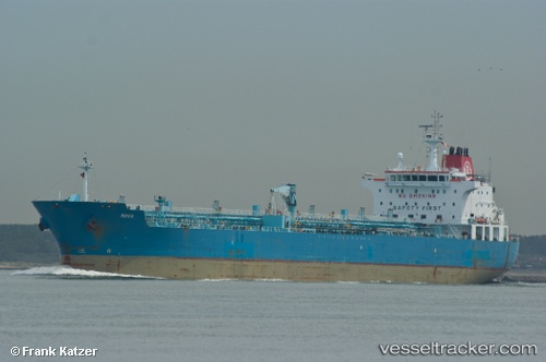
Vessel STARLIGHT I IMO: 9377664, MMSI: 538009010 Crude Oil Tanker
UTC, 29.96500, -90.27500, course: -1, speed: 0
UTC, 29.96692, -90.27522, course: 271, speed: 0
2026-01-31 09:26:07 UTC, 29.96688, -90.27531, course: 274, speed: 0
Live AIS position:
UTC. Near Ama),
updated 2026-01-31 09:26:07 UTC.
Find the position of the vessel STARLIGHT I on the map. The latter are known coordinates and path.
marine traffic ship tracker show on live map
The current position of vessel STARLIGHT I is 29.96688 lat / -90.27531 lng. Updated: 2026-01-31 09:26:07 UTCCurrently sailing under the flag of Marshall Is
STARLIGHT I built in 0 year
Deadweight:
0 tDetails:
Last coordinates of the vessel:
UTC, 29.96649, -90.27519, course: 290, speed: 0UTC, 29.96500, -90.27500, course: -1, speed: 0
UTC, 29.96692, -90.27522, course: 271, speed: 0
2026-01-31 09:26:07 UTC, 29.96688, -90.27531, course: 274, speed: 0