 vesseltracker.com
Live AIS position:
44.72007° N, 37.84122° E UTC. Near Novorossiysk),
updated 2025-11-20 18:45:14 UTC.
Find the position of the vessel Leni on the map. The latter are known coordinates and path.
marine traffic ship tracker show on live map
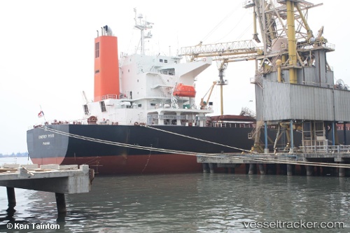
The current position of vessel Leni is 44.72007 lat / 37.84122 lng. Updated: 2025-11-20 18:45:14 UTCCurrently sailing under the flag of Marshall Islands
Details:
Last coordinates of the vessel:
UTC, 44.72007, 37.81683, course: 23, speed: 0UTC, 44.76494, 37.72780, course: 23, speed: 3.3
UTC, 44.76494, 37.72780, course: 23, speed: 3.3
2025-11-20 18:45:14 UTC, 44.72007, 37.84122, course: 23, speed: 2.7