 vesseltracker.com
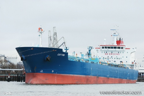
Vessel SKY IMO: 9380350, MMSI: 538009364 Chemical/Oil Products Tanker
UTC, 8.80713, -79.52383, course: 41, speed: 0
UTC, 8.80710, -79.52381, course: 41, speed: 0
2026-02-27 09:56:53 UTC, 8.80712, -79.52387, course: 40, speed: 0
Live AIS position:
UTC. Near Taboguilla),
updated 2026-02-27 09:56:53 UTC.
Find the position of the vessel SKY on the map. The latter are known coordinates and path.
marine traffic ship tracker show on live map
The current position of vessel SKY is 8.80712 lat / -79.52387 lng. Updated: 2026-02-27 09:56:53 UTCCurrently sailing under the flag of Marshall Islands
SKY built in 2007 year
Deadweight:
37879 tDetails:
Last coordinates of the vessel:
UTC, 8.80712, -79.52388, course: 40, speed: 0UTC, 8.80713, -79.52383, course: 41, speed: 0
UTC, 8.80710, -79.52381, course: 41, speed: 0
2026-02-27 09:56:53 UTC, 8.80712, -79.52387, course: 40, speed: 0