 vesseltracker.com
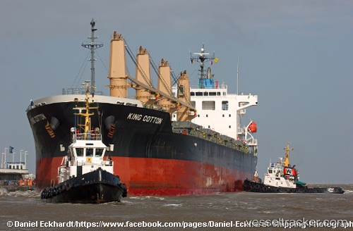
Vessel Manta Melek IMO: 9536856, MMSI: 538009536 Bulk Carrier
UTC, 31.20710, 29.74906, course: 252, speed: 0.4
UTC, 31.20652, 29.74929, course: 263, speed: 0.4
2026-01-28 04:14:42 UTC, 31.20551, 29.74923, course: 266, speed: 0.7
Live AIS position:
UTC. Near EL DEKHEILA),
updated 2026-01-28 04:14:42 UTC.
Find the position of the vessel Manta Melek on the map. The latter are known coordinates and path.
marine traffic ship tracker show on live map
The current position of vessel Manta Melek is 31.20551 lat / 29.74923 lng. Updated: 2026-01-28 04:14:42 UTCCurrently sailing under the flag of Marshall Islands
Details:
Last coordinates of the vessel:
UTC, 31.20641, 29.74923, course: 248, speed: 0.9UTC, 31.20710, 29.74906, course: 252, speed: 0.4
UTC, 31.20652, 29.74929, course: 263, speed: 0.4
2026-01-28 04:14:42 UTC, 31.20551, 29.74923, course: 266, speed: 0.7