 vesseltracker.com
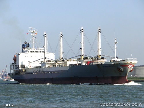
Vessel 538009577 IMO: 9179397, MMSI: 538009577
UTC, 34.67515, 135.24248, course: 125, speed: 7.7
UTC, 34.59548, 135.25697, course: 201, speed: 15
2026-01-15 05:28:56 UTC, 34.41459, 135.05121, course: 221, speed: 14.4
Live AIS position:
UTC. Near Awaji),
updated 2026-01-15 05:28:56 UTC.
Find the position of the vessel 538009577 on the map. The latter are known coordinates and path.
marine traffic ship tracker show on live map
The current position of vessel 538009577 is 34.41459 lat / 135.05121 lng. Updated: 2026-01-15 05:28:56 UTCDetails:
Last coordinates of the vessel:
UTC, 34.67701, 135.23741, course: 107, speed: 7.4UTC, 34.67515, 135.24248, course: 125, speed: 7.7
UTC, 34.59548, 135.25697, course: 201, speed: 15
2026-01-15 05:28:56 UTC, 34.41459, 135.05121, course: 221, speed: 14.4