 vesseltracker.com
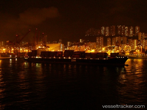
Vessel CELSIUS NAPLES IMO: 9400136, MMSI: 538009602 Container Ship
UTC, 13.85731, 111.55648, course: 209, speed: 16.3
UTC, 13.85731, 111.55648, course: 209, speed: 16.3
2026-01-15 13:07:52 UTC, 12.39695, 110.74734, course: 208, speed: 16.3
Live AIS position:
UTC. 81 nm E of Dam Mon),
updated 2026-01-15 13:07:52 UTC.
Find the position of the vessel CELSIUS NAPLES on the map. The latter are known coordinates and path.
marine traffic ship tracker show on live map
The current position of vessel CELSIUS NAPLES is 12.39695 lat / 110.74734 lng. Updated: 2026-01-15 13:07:52 UTCCurrently sailing under the flag of Marshall Islands
CELSIUS NAPLES built in 2009 year
Deadweight:
63350 tDetails:
Last coordinates of the vessel:
UTC, 13.85731, 111.55648, course: 209, speed: 16.3UTC, 13.85731, 111.55648, course: 209, speed: 16.3
UTC, 13.85731, 111.55648, course: 209, speed: 16.3
2026-01-15 13:07:52 UTC, 12.39695, 110.74734, course: 208, speed: 16.3