 vesseltracker.com
Find the position of the vessel VALENCIA EAGLE on the map. The latter are known coordinates and path.
marine traffic ship tracker show on live map
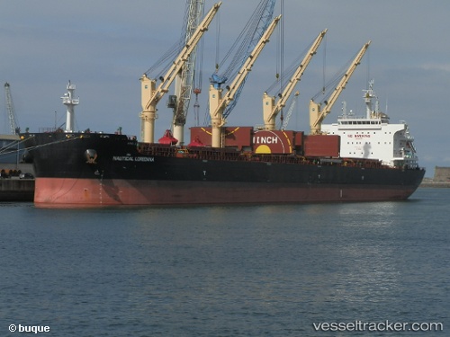
The current position of vessel VALENCIA EAGLE is -29.88473 lat / 31.04233 lng. Updated: 2025-11-17 13:17:57 UTCCurrently sailing under the flag of Marshall Islands
VALENCIA EAGLE built in 2015 year
Deadweight:
63556 tDetails:
Last coordinates of the vessel:
UTC, -29.88476, 31.04241, course: 244, speed: 0UTC, -29.88473, 31.04233, course: 244, speed: 0
UTC, -29.88480, 31.04240, course: 244, speed: 0
2025-11-17 13:17:57 UTC, -29.88473, 31.04233, course: 244, speed: 0