 vesseltracker.com
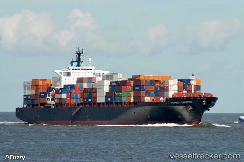
Vessel LADY JANE IMO: 9297474, MMSI: 538009624 Container Ship
UTC, 36.01071, 120.20874, course: 224, speed: 0
UTC, 36.01069, 120.20874, course: 223, speed: 0
2026-02-22 09:27:13 UTC, 36.01071, 120.20882, course: 223, speed: 0
Live AIS position:
UTC. Near Xianlang),
updated 2026-02-22 09:27:13 UTC.
Find the position of the vessel LADY JANE on the map. The latter are known coordinates and path.
marine traffic ship tracker show on live map
The current position of vessel LADY JANE is 36.01071 lat / 120.20882 lng. Updated: 2026-02-22 09:27:13 UTCCurrently sailing under the flag of Marshall Islands
LADY JANE built in 2005 year
Deadweight:
67222 tDetails:
Last coordinates of the vessel:
UTC, 36.01073, 120.20881, course: 223, speed: 0UTC, 36.01071, 120.20874, course: 224, speed: 0
UTC, 36.01069, 120.20874, course: 223, speed: 0
2026-02-22 09:27:13 UTC, 36.01071, 120.20882, course: 223, speed: 0