 vesseltracker.com
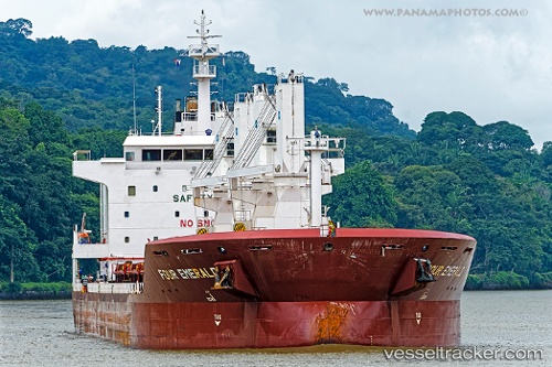
Vessel LADY SINEM IMO: 9416458, MMSI: 538009667 General Cargo Ship
UTC, -20.93316, 55.32483, course: 179, speed: 0
UTC, -20.93316, 55.32483, course: 179, speed: 0
2026-01-18 17:59:07 UTC, -20.93316, 55.32483, course: 179, speed: 0
Live AIS position:
UTC. Near Possession),
updated 2026-01-18 17:59:07 UTC.
Find the position of the vessel LADY SINEM on the map. The latter are known coordinates and path.
marine traffic ship tracker show on live map
The current position of vessel LADY SINEM is -20.93316 lat / 55.32483 lng. Updated: 2026-01-18 17:59:07 UTCCurrently sailing under the flag of Marshall Islands
LADY SINEM built in 2013 year
Deadweight:
38009 tDetails:
Last coordinates of the vessel:
UTC, -20.93316, 55.32483, course: 179, speed: 0UTC, -20.93316, 55.32483, course: 179, speed: 0
UTC, -20.93316, 55.32483, course: 179, speed: 0
2026-01-18 17:59:07 UTC, -20.93316, 55.32483, course: 179, speed: 0