 vesseltracker.com
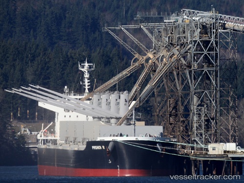
Vessel PRONOI R IMO: 9602746, MMSI: 538009682 Bulk Carrier
UTC, -42.75217, -64.95333, course: 19, speed: 0
UTC, -42.75214, -64.95344, course: 20, speed: 0
2026-03-11 18:00:15 UTC, -42.75225, -64.95338, course: 21, speed: 0
Live Vessel PRONOI R Analytics (details, animations, etc.)
Live AIS position: UTC. Near Puerto Madryn), updated 2026-03-11 18:00:15 UTC.Find the position of the vessel PRONOI R on the map. The latter are known coordinates and path.
marine traffic ship tracker show on live map
The current position of vessel PRONOI R is -42.75225 lat / -64.95338 lng. Updated: 2026-03-11 18:00:15 UTCCurrently sailing under the flag of Marshall Islands
Details:
Last coordinates of the vessel:
UTC, -42.75167, -64.95167, course: -1, speed: 0UTC, -42.75217, -64.95333, course: 19, speed: 0
UTC, -42.75214, -64.95344, course: 20, speed: 0
2026-03-11 18:00:15 UTC, -42.75225, -64.95338, course: 21, speed: 0