 vesseltracker.com
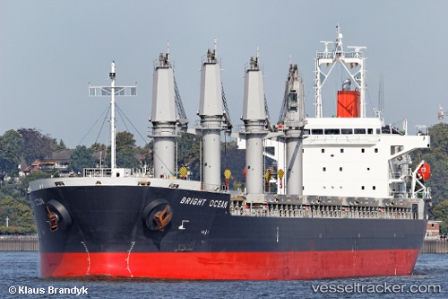
Vessel LA LOUISE IMO: 9470301, MMSI: 538009706 General Cargo Ship
UTC, 1.15126, 103.75715, course: 242, speed: 9.2
UTC, 1.15126, 103.75715, course: 242, speed: 9.2
2026-02-14 07:29:03 UTC, 1.15126, 103.75715, course: 242, speed: 9.2
Live AIS position:
UTC. Near BUKOM ISLAND),
updated 2026-02-14 07:29:03 UTC.
Find the position of the vessel LA LOUISE on the map. The latter are known coordinates and path.
marine traffic ship tracker show on live map
The current position of vessel LA LOUISE is 1.15126 lat / 103.75715 lng. Updated: 2026-02-14 07:29:03 UTCCurrently sailing under the flag of Marshall Islands
LA LOUISE built in 2012 year
Deadweight:
37207 tDetails:
Last coordinates of the vessel:
UTC, 1.27345, 104.11669, course: 263, speed: 9UTC, 1.15126, 103.75715, course: 242, speed: 9.2
UTC, 1.15126, 103.75715, course: 242, speed: 9.2
2026-02-14 07:29:03 UTC, 1.15126, 103.75715, course: 242, speed: 9.2