 vesseltracker.com
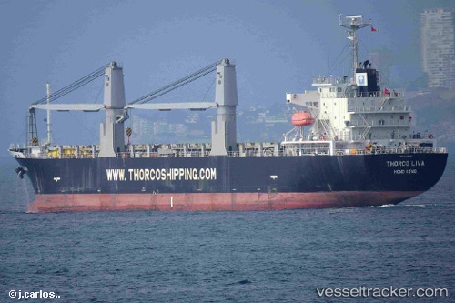
Vessel SAINT NICHOLAS IMO: 9643623, MMSI: 538009716 General Cargo Ship
UTC, 53.88763, 9.18153, course: 267, speed: 0
UTC, 53.88762, 9.18147, course: 267, speed: 0
2026-01-28 10:09:34 UTC, 53.88758, 9.18155, course: 267, speed: 0
Live AIS position:
UTC. Near Ostermoor),
updated 2026-01-28 10:09:34 UTC.
Find the position of the vessel SAINT NICHOLAS on the map. The latter are known coordinates and path.
marine traffic ship tracker show on live map
The current position of vessel SAINT NICHOLAS is 53.88758 lat / 9.18155 lng. Updated: 2026-01-28 10:09:34 UTCCurrently sailing under the flag of Marshall Islands
SAINT NICHOLAS built in 2012 year
Deadweight:
16901 tDetails:
Last coordinates of the vessel:
UTC, 53.88755, 9.18160, course: 267, speed: 0UTC, 53.88763, 9.18153, course: 267, speed: 0
UTC, 53.88762, 9.18147, course: 267, speed: 0
2026-01-28 10:09:34 UTC, 53.88758, 9.18155, course: 267, speed: 0