 vesseltracker.com
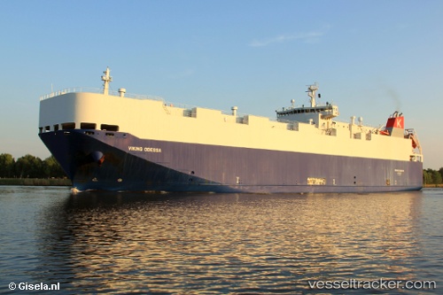
Vessel VIKING ODESSA IMO: 9398876, MMSI: 538009721 Vehicles Carrier
UTC, 40.64949, -74.04901, course: 81, speed: 0
UTC, 40.64984, -74.04910, course: 119, speed: 0
2026-02-22 16:30:20 UTC, 40.65018, -74.04898, course: 129, speed: 0.1
Live AIS position:
UTC. Near Tompkinsville),
updated 2026-02-22 16:30:20 UTC.
Find the position of the vessel VIKING ODESSA on the map. The latter are known coordinates and path.
marine traffic ship tracker show on live map
The current position of vessel VIKING ODESSA is 40.65018 lat / -74.04898 lng. Updated: 2026-02-22 16:30:20 UTCCurrently sailing under the flag of Marshall Islands
VIKING ODESSA built in 2009 year
Deadweight:
5432 tDetails:
Last coordinates of the vessel:
UTC, 40.64874, -74.04738, course: 14, speed: 0UTC, 40.64949, -74.04901, course: 81, speed: 0
UTC, 40.64984, -74.04910, course: 119, speed: 0
2026-02-22 16:30:20 UTC, 40.65018, -74.04898, course: 129, speed: 0.1