 vesseltracker.com
Find the position of the vessel NO. 2 OCEAN PIONEER on the map. The latter are known coordinates and path.
marine traffic ship tracker show on live map
The current position of vessel NO. 2 OCEAN PIONEER is 30.9185 lat / 134.336 lng. Updated: 2024-05-04 03:46:55 UTCCurrently sailing under the flag of Marshall Islands
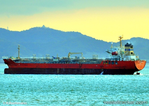
NO. 2 OCEAN PIONEER built in 2006 year
Deadweight:
19991 tPayload_mass:
19990 tonneGross tonnage:
11561Service entry:
2006-01-01T00:00:00ZDetails:
Last coordinates of the vessel:
UTC, 31.6469, 134.486, course: 204, speed: 13.3UTC, 31.3879, 134.427, course: 196, speed: 12.7
UTC, 31.1131, 134.369, course: 199, speed: 12.6
2024-05-04 03:46:55 UTC, 30.9185, 134.336, course: 194, speed: 12.4