 vesseltracker.com
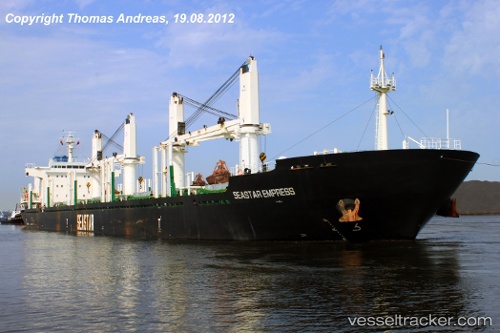
Vessel VEGA EVEREST IMO: 9602693, MMSI: 538010007 Bulk Carrier
UTC, 35.51739, 129.39388, course: 333, speed: 0
UTC, 35.51739, 129.39388, course: 333, speed: 0
2026-01-27 23:31:11 UTC, 35.51739, 129.39388, course: 333, speed: 0
Live AIS position:
UTC. Near Mipo/Ulsan),
updated 2026-01-27 23:31:11 UTC.
Find the position of the vessel VEGA EVEREST on the map. The latter are known coordinates and path.
marine traffic ship tracker show on live map
The current position of vessel VEGA EVEREST is 35.51739 lat / 129.39388 lng. Updated: 2026-01-27 23:31:11 UTCCurrently sailing under the flag of Marshall Islands
VEGA EVEREST built in 2011 year
Deadweight:
35000 tDetails:
Last coordinates of the vessel:
UTC, 35.51741, 129.39386, course: 334, speed: 0UTC, 35.51739, 129.39388, course: 333, speed: 0
UTC, 35.51739, 129.39388, course: 333, speed: 0
2026-01-27 23:31:11 UTC, 35.51739, 129.39388, course: 333, speed: 0