 vesseltracker.com
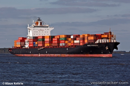
Vessel RENA P IMO: 9301859, MMSI: 538010028 Container Ship
UTC, 33.67333, 138.68668, course: -1, speed: 17
UTC, 33.57667, 138.28333, course: -1, speed: 16
2026-02-28 23:45:36 UTC, 33.39833, 137.55499, course: -1, speed: 16
Live AIS position:
UTC. 67 nm SE of Shima, Mie),
updated 2026-02-28 23:45:36 UTC.
Find the position of the vessel RENA P on the map. The latter are known coordinates and path.
marine traffic ship tracker show on live map
The current position of vessel RENA P is 33.39833 lat / 137.55499 lng. Updated: 2026-02-28 23:45:36 UTCCurrently sailing under the flag of Marshall Islands
RENA P built in 2007 year
Deadweight:
50764 tDetails:
Last coordinates of the vessel:
UTC, 34.28167, 139.41833, course: -1, speed: 17UTC, 33.67333, 138.68668, course: -1, speed: 17
UTC, 33.57667, 138.28333, course: -1, speed: 16
2026-02-28 23:45:36 UTC, 33.39833, 137.55499, course: -1, speed: 16