 vesseltracker.com
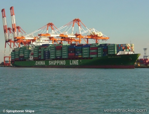
Vessel EMMANUEL P IMO: 9290127, MMSI: 538010029 Container Ship
UTC, 20.80172, 106.90696, course: 149, speed: 0
UTC, 20.80168, 106.90700, course: 149, speed: 0
2026-02-01 06:08:19 UTC, 20.80152, 106.90705, course: 149, speed: 0
Live AIS position:
UTC. Near Nam Hai Dinh Vu Port),
updated 2026-02-01 06:08:19 UTC.
Find the position of the vessel EMMANUEL P on the map. The latter are known coordinates and path.
marine traffic ship tracker show on live map
The current position of vessel EMMANUEL P is 20.80152 lat / 106.90705 lng. Updated: 2026-02-01 06:08:19 UTCCurrently sailing under the flag of Marshall Islands
EMMANUEL P built in 2005 year
Deadweight:
50796 tDetails:
Last coordinates of the vessel:
UTC, 20.80172, 106.90700, course: 149, speed: 0UTC, 20.80172, 106.90696, course: 149, speed: 0
UTC, 20.80168, 106.90700, course: 149, speed: 0
2026-02-01 06:08:19 UTC, 20.80152, 106.90705, course: 149, speed: 0