 vesseltracker.com
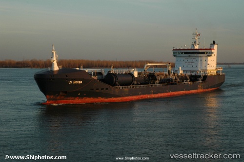
Find the position of the vessel SEA BAZOU 2 on the map. The latter are known coordinates and path.
marine traffic ship tracker show on live map
The current position of vessel SEA BAZOU 2 is 3.90021 lat / 9.54453 lng. Updated: 2024-05-06 04:31:11 UTCCurrently sailing under the flag of Marshall Islands
SEA BAZOU 2 built in 2006 year
Port of registry:
Gibraltar (British Overseas Territory)Deadweight:
15551 tGross tonnage:
10811Service entry:
2006-01-01T00:00:00ZDetails:
Last coordinates of the vessel:
UTC, 3.90205, 9.54696, course: 202, speed: 0.1UTC, 3.90206, 9.54693, course: 200, speed: 0.1
UTC, 3.90033, 9.54464, course: 70, speed: 0.4
2024-05-06 04:31:11 UTC, 3.90021, 9.54453, course: 65, speed: 0