 vesseltracker.com
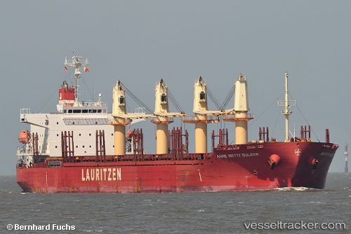
Vessel LADY SARE IMO: 9544152, MMSI: 538010094 General Cargo Ship
UTC, 51.34409, 4.28852, course: 275, speed: 0.1
UTC, 51.39408, 4.20882, course: 314, speed: 13.2
2026-01-16 05:45:40 UTC, 51.67695, 3.29251, course: 331, speed: 10.7
Live AIS position:
UTC. Near Hunsdon),
updated 2026-01-16 05:45:40 UTC.
Find the position of the vessel LADY SARE on the map. The latter are known coordinates and path.
marine traffic ship tracker show on live map
The current position of vessel LADY SARE is 51.67695 lat / 3.29251 lng. Updated: 2026-01-16 05:45:40 UTCCurrently sailing under the flag of Marshall Islands
LADY SARE built in 2012 year
Deadweight:
38118 tDetails:
Last coordinates of the vessel:
UTC, 51.33927, 4.30001, course: 324, speed: 1.9UTC, 51.34409, 4.28852, course: 275, speed: 0.1
UTC, 51.39408, 4.20882, course: 314, speed: 13.2
2026-01-16 05:45:40 UTC, 51.67695, 3.29251, course: 331, speed: 10.7