 vesseltracker.com
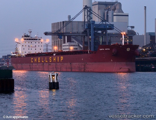
Vessel HORUS IMO: 9635690, MMSI: 538010108 Bulk Carrier
UTC, 24.27195, -61.86472, course: 128, speed: 9.1
UTC, 24.27195, -61.86472, course: 128, speed: 9.1
2026-03-13 05:24:47 UTC, 24.27195, -61.86472, course: 128, speed: 9.1
Live Vessel HORUS Analytics (details, animations, etc.)
Live AIS position: UTC. 240 nm W of Villa Elisa), updated 2026-03-13 05:24:47 UTC.Find the position of the vessel HORUS on the map. The latter are known coordinates and path.
marine traffic ship tracker show on live map
The current position of vessel HORUS is 24.27195 lat / -61.86472 lng. Updated: 2026-03-13 05:24:47 UTCCurrently sailing under the flag of Marshall Is
HORUS built in 2012 year
Deadweight:
80545 tDetails:
Last coordinates of the vessel:
UTC, 24.39014, -62.04897, course: 132, speed: 9.3UTC, 24.27195, -61.86472, course: 128, speed: 9.1
UTC, 24.27195, -61.86472, course: 128, speed: 9.1
2026-03-13 05:24:47 UTC, 24.27195, -61.86472, course: 128, speed: 9.1