 vesseltracker.com
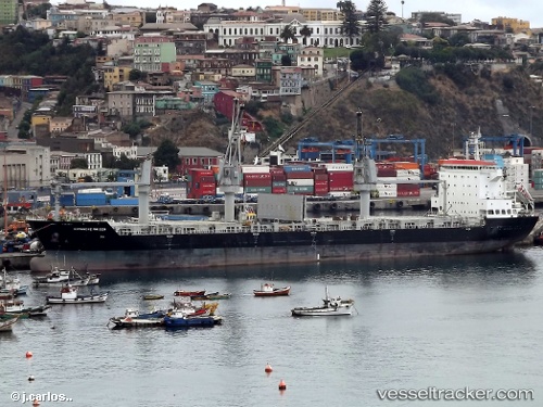
Vessel DAFNI IMO: 9438377, MMSI: 538010139 General Cargo Ship
UTC, 49.30903, -123.11776, course: 301, speed: 0
UTC, 49.30906, -123.11768, course: 298, speed: 0
2026-01-14 19:36:20 UTC, 49.30912, -123.11770, course: 298, speed: 0
Live AIS position:
UTC. Near Vancouver),
updated 2026-01-14 19:36:20 UTC.
Find the position of the vessel DAFNI on the map. The latter are known coordinates and path.
marine traffic ship tracker show on live map
The current position of vessel DAFNI is 49.30912 lat / -123.11770 lng. Updated: 2026-01-14 19:36:20 UTCCurrently sailing under the flag of Marshall Islands
DAFNI built in 2011 year
Deadweight:
34037 tDetails:
Last coordinates of the vessel:
UTC, 49.30905, -123.11762, course: 298, speed: 0UTC, 49.30903, -123.11776, course: 301, speed: 0
UTC, 49.30906, -123.11768, course: 298, speed: 0
2026-01-14 19:36:20 UTC, 49.30912, -123.11770, course: 298, speed: 0