 vesseltracker.com
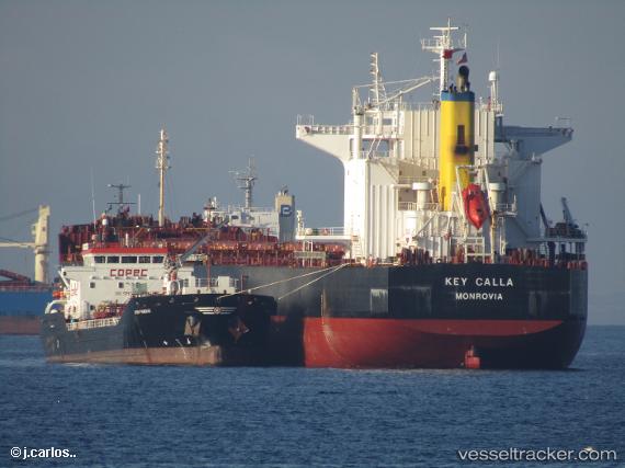
Vessel SAFEEN AL NOUR IMO: 9442392, MMSI: 538010228 Bulk Carrier
UTC, 58.21934, 20.65884, course: 37, speed: 12.6
UTC, 58.58639, 21.12662, course: 35, speed: 12.3
2026-01-16 02:30:18 UTC, 58.58639, 21.12662, course: 35, speed: 12.3
Live AIS position:
UTC. 27 nm NW of Vikati Sadam),
updated 2026-01-16 02:30:18 UTC.
Find the position of the vessel SAFEEN AL NOUR on the map. The latter are known coordinates and path.
marine traffic ship tracker show on live map
The current position of vessel SAFEEN AL NOUR is 58.58639 lat / 21.12662 lng. Updated: 2026-01-16 02:30:18 UTCCurrently sailing under the flag of Marshall Islands
SAFEEN AL NOUR built in 2010 year
Deadweight:
83353 tDetails:
Last coordinates of the vessel:
UTC, 57.97350, 20.36685, course: 27, speed: 12.1UTC, 58.21934, 20.65884, course: 37, speed: 12.6
UTC, 58.58639, 21.12662, course: 35, speed: 12.3
2026-01-16 02:30:18 UTC, 58.58639, 21.12662, course: 35, speed: 12.3