 vesseltracker.com
Find the position of the vessel AGGELAMAX on the map. The latter are known coordinates and path.
marine traffic ship tracker show on live map
The current position of vessel AGGELAMAX is 18.9333 lat / 113.465 lng. Updated: 2024-05-03 10:32:25 UTCCurrently sailing under the flag of Marshall Islands
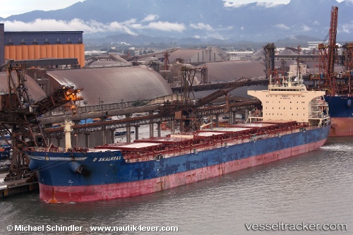
AGGELAMAX built in 2011 year
Port of registry:
Monrovia (capital city of Liberia)Deadweight:
93281 tPayload_mass:
93280.7 tonneGross tonnage:
51225Service entry:
2011-01-01T00:00:00ZManufacturer:
Jiangsu Yangzi Xinfu ShipbuildingDetails:
Last coordinates of the vessel:
UTC, 18.0433, 113.358, course: -1, speed: 13UTC, 18.5217, 113.422, course: -1, speed: 14
UTC, 18.6833, 113.445, course: -1, speed: 13
2024-05-03 10:32:25 UTC, 18.9333, 113.465, course: -1, speed: 13