 vesseltracker.com
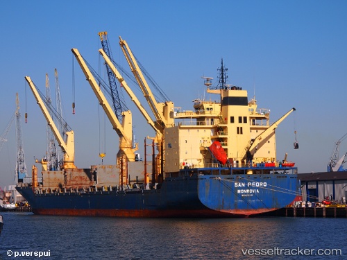
Vessel ATLANTIC NAVIGATOR II IMO: 9231145, MMSI: 538010311 General Cargo Ship
UTC, 17.95728, -102.17150, course: 358, speed: 0
UTC, 17.95730, -102.17148, course: 358, speed: 0
2026-03-04 20:29:52 UTC, 17.93318, -102.17757, course: 134, speed: 4.4
Live Vessel ATLANTIC NAVIGATOR II Analytics (details, animations, etc.)
Live AIS position: UTC. Near Lazaro Cardenas), updated 2026-03-04 20:29:52 UTC.Find the position of the vessel ATLANTIC NAVIGATOR II on the map. The latter are known coordinates and path.
marine traffic ship tracker show on live map
The current position of vessel ATLANTIC NAVIGATOR II is 17.93318 lat / -102.17757 lng. Updated: 2026-03-04 20:29:52 UTCCurrently sailing under the flag of Marshall Is
ATLANTIC NAVIGATOR II built in 2003 year
Deadweight:
30345 tDetails:
Last coordinates of the vessel:
UTC, 17.95728, -102.17145, course: 357, speed: 0UTC, 17.95728, -102.17150, course: 358, speed: 0
UTC, 17.95730, -102.17148, course: 358, speed: 0
2026-03-04 20:29:52 UTC, 17.93318, -102.17757, course: 134, speed: 4.4