 vesseltracker.com
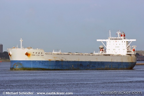
Vessel CAPE KENSINGTON IMO: 9327815, MMSI: 538010395 Bulk Carrier
UTC, 39.23858, 119.07667, course: 55, speed: 1.7
UTC, 39.23882, 119.07642, course: 55, speed: 0
2026-03-17 03:41:20 UTC, 39.23878, 119.07643, course: 55, speed: 0.2
Live Vessel CAPE KENSINGTON Analytics (details, animations, etc.)
Live AIS position: UTC. Near JINGTANG), updated 2026-03-17 03:41:20 UTC.Find the position of the vessel CAPE KENSINGTON on the map. The latter are known coordinates and path.
marine traffic ship tracker show on live map
The current position of vessel CAPE KENSINGTON is 39.23878 lat / 119.07643 lng. Updated: 2026-03-17 03:41:20 UTCCurrently sailing under the flag of Marshall Islands
Details:
Last coordinates of the vessel:
UTC, 39.23883, 119.07636, course: -1, speed: 0.1UTC, 39.23858, 119.07667, course: 55, speed: 1.7
UTC, 39.23882, 119.07642, course: 55, speed: 0
2026-03-17 03:41:20 UTC, 39.23878, 119.07643, course: 55, speed: 0.2