 vesseltracker.com
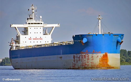
Vessel SERIFOS IMO: 9710141, MMSI: 538010435 Cargo
UTC, -32.92124, 151.76877, course: 359, speed: 0
UTC, -32.92124, 151.76877, course: 0, speed: 0
2026-03-25 04:26:29 UTC, -32.92124, 151.76877, course: 0, speed: 0
Live Vessel SERIFOS Analytics (details, animations, etc.)
Live AIS position: UTC. Near Wickham), updated 2026-03-25 04:26:29 UTC.Find the position of the vessel SERIFOS on the map. The latter are known coordinates and path.
marine traffic ship tracker show on live map
The current position of vessel SERIFOS is -32.92124 lat / 151.76877 lng. Updated: 2026-03-25 04:26:29 UTCCurrently sailing under the flag of Marshall Islands
Details:
Last coordinates of the vessel:
UTC, -32.92126, 151.76874, course: 0, speed: 0UTC, -32.92124, 151.76877, course: 359, speed: 0
UTC, -32.92124, 151.76877, course: 0, speed: 0
2026-03-25 04:26:29 UTC, -32.92124, 151.76877, course: 0, speed: 0