 vesseltracker.com
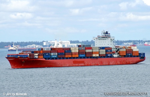
Vessel Gulf Barakah IMO: 9464314, MMSI: 538010770 Container Ship
UTC, 26.17244, 53.72342, course: 108, speed: 11.8
UTC, 26.11374, 53.97500, course: 101, speed: 11.6
2026-02-08 22:16:24 UTC, 26.00951, 54.55929, course: 110, speed: 11.2
Live AIS position:
UTC. Near Jazireh-Ye Sirri),
updated 2026-02-08 22:16:24 UTC.
Find the position of the vessel Gulf Barakah on the map. The latter are known coordinates and path.
marine traffic ship tracker show on live map
The current position of vessel Gulf Barakah is 26.00951 lat / 54.55929 lng. Updated: 2026-02-08 22:16:24 UTCCurrently sailing under the flag of Marshall Is
Gulf Barakah built in 0 year
Deadweight:
0 tDetails:
Last coordinates of the vessel:
UTC, 26.30625, 53.21977, course: 107, speed: 10.7UTC, 26.17244, 53.72342, course: 108, speed: 11.8
UTC, 26.11374, 53.97500, course: 101, speed: 11.6
2026-02-08 22:16:24 UTC, 26.00951, 54.55929, course: 110, speed: 11.2