 vesseltracker.com
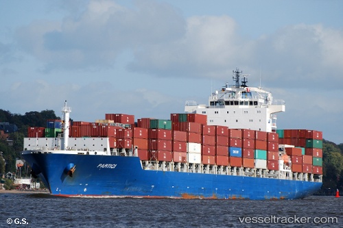
Vessel WADI DUKA IMO: 9419785, MMSI: 538010776 Container Ship
UTC, 24.42802, 57.73695, course: 55, speed: 16.4
UTC, 24.31023, 58.26457, course: 120, speed: 17.6
2026-01-28 15:32:27 UTC, 24.05790, 58.65537, course: 175, speed: 16.3
Live AIS position:
UTC. 24 nm N of Fahal),
updated 2026-01-28 15:32:27 UTC.
Find the position of the vessel WADI DUKA on the map. The latter are known coordinates and path.
marine traffic ship tracker show on live map
The current position of vessel WADI DUKA is 24.05790 lat / 58.65537 lng. Updated: 2026-01-28 15:32:27 UTCCurrently sailing under the flag of Marshall Is
WADI DUKA built in 2010 year
Deadweight:
41974 tDetails:
Last coordinates of the vessel:
UTC, 24.75275, 57.14795, course: 140, speed: 16.7UTC, 24.42802, 57.73695, course: 55, speed: 16.4
UTC, 24.31023, 58.26457, course: 120, speed: 17.6
2026-01-28 15:32:27 UTC, 24.05790, 58.65537, course: 175, speed: 16.3